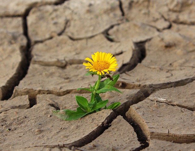
Drought in the 21st century, a global approach

Since the last decade, we have been witnessing the occurrence of several extreme weather events like record breaking heat waves, heavy rainfall, flooding, hurricanes and drought. Some examples of our recent past include wildfires in Australia, extreme heat in the Arctic, drought in Mexico and heat waves in Europe.
Are these extreme weather events normal? Some of the most important questions that scientists are trying to answer are related to how the weather and climate patterns were in the past and if these patterns can be replicated now or in the future. For Earth scientists, the past is the key to the present. But how do we study weather events that happened in the past? We certainly can’t go back and measure with current instruments. Fortunately, paleoclimatologists—scientists who study the Earth’s past climate—can rely on several measuring tools to peer into the climate from hundreds to thousand years ago. Those tools include dendrochronology, stalagmite geochronology, gas measurements on ice cores drilled from ice sheets or glaciers and geochronology of lake sediments.
It’s not until the 80s that advanced technology was developed—satellites and sensors were constructed and used to obtain geospatial data and thus observe changes on Earth over time from soil to atmosphere, a process called remote sensing. Scientists have been using remote sensing data coupled with computational climate models with the purpose of increasing the understanding of Earth’s climate complex patterns.
Recently, there has been a particular interest on how small shifts in climate patterns can induce extreme weather events. An important example of such events is drought due to the huge impact that it has on human societies (Dracup et al., 1980; Wilhite, 2000), environment and land desertification.
According to a study by Ndehedehe et al. (2023) the magnitude of global drought can be studied by combining remote sensing data with Global Climate Models (CMIP6). The Standardized Precipitation Evapotranspiration Index (SPEI) was used as a drought indicator (Vicente-Serrano et al., 2010). Data obtained by the authors shows that rainfall deficit has been increasing since 1980. Moreover, higher temperatures have increased evapotranspiration rates. Combined together, these two factors produce high SPEIs which then help to pinpoint where severe droughts occur.
Future climate projections made by the authors show that by the end of the 21st century, the global proportions of land affected by drought occurrence will decrease. However, if drought hits a certain region it will probably last longer than in the past. A prolonged drought could have huge impacts on water availability because natural water storage like rivers, lakes, lagoons, groundwater and soil will be put under stress—they will lose water or simply will not capture enough.
In addition, current trends show an increase in water demand and environmental degradation both of which will exacerbate this problem. There is currently sufficient evidence that anthropogenic activities and greenhouse gases emissions have important implications on climate change (e.g. Chiang et al., 2021), which means they will likely impact drought occurrence too.
